VeiledAthena
Operation Illuminate
Out of Focus (5pts)
Task: What is the name of the coastal town or neighborhood where the main walking trail to this location begins?
Answer Format:
- Use the osintuk{answer} format.
e.g. osintuk{Whitby}
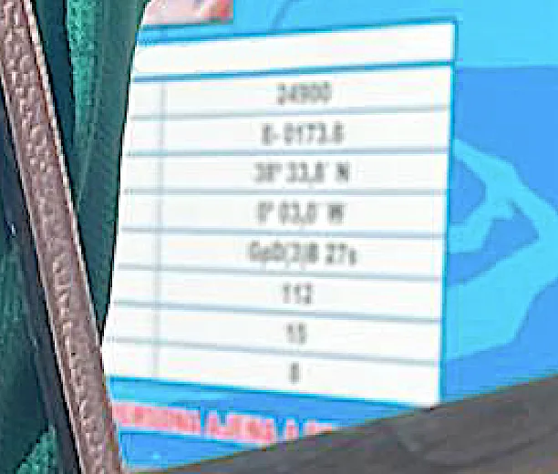
The blurred text in the centre of this image seems to be the focus point. I started by taking the image to PowerPoint and increasing the sharpness. I thought of using AI tools to better increase text fidelity, but I was concerned of the risk of it returning the wrong numbers. The third and fourth values down appear to be coordinates, and ‘38 degrees’ implies Spain, as learned from Operation Costa.
To the best of my eyesight, I make out ‘38” 33,8 N // 0” 03,0 W’.
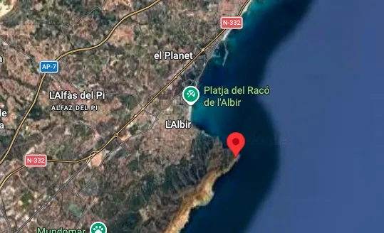
Searching for these coordinates on Google Maps takes us just outside of Benidorm, Spain, to the town of L’Albir.
Entering ‘L’Albir’ doesn’t bring the correct flag. This is because ‘l’ is a preposition. Entering ‘Albir’ resolves the flag.
Flag: osintuk{Albir}
Shed Some Light (5pts)
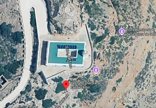
Task: Identify the location near the previous coordinates where this photo was taken. There is a building directly to the side of this photo location, you must provide the text which is written above the main front entrance.
Answer Format:
- Use the osintuk{answer} format.
- Replace all spaces with underscores.
- Keep special characters, punctuation, accent/tilde characters etc in tact.
e.g. osintuk{Edificio_Ciudad_Montaña}
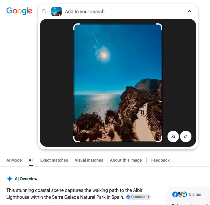
Applying Occam’s Razor, I take the image straight to Google Lens as a first port of call. Sure enough, it brings a suggestion of the Albir Lighthouse. This matches the clues in the challenge - ‘shedding light’, and the .jpg being titled ‘illuminate’.
Standard searches on Google Images for the text above the main entrance didn’t provide the results I was looking for, so I moved to YouTube. I found a tourism video from ‘VisitAlbir’ which features the text. Edit: Google Street View also shows the text.
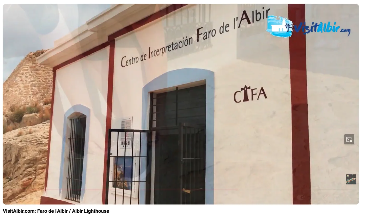
Flag: osintuk{Centro_de_Interpretación_Faro_de_l’Albir}
The Catch (5pts)
Task: Explore the area immediately behind the building from Task 2. One of the information panels details a specific animal and cites a nearby man-made installation as the main reason they are spotted from this location. Provide the Spanish name of the animal and the installation.
Answer Format:
- Use the osintuk{answer} format.
- Replace all spaces with underscores.
- Use an underscore between the animal and installation.
- Keep special characters, punctuation, accent/tilde characters etc in tact.
e.g. osintuk{león_marino_malecón}
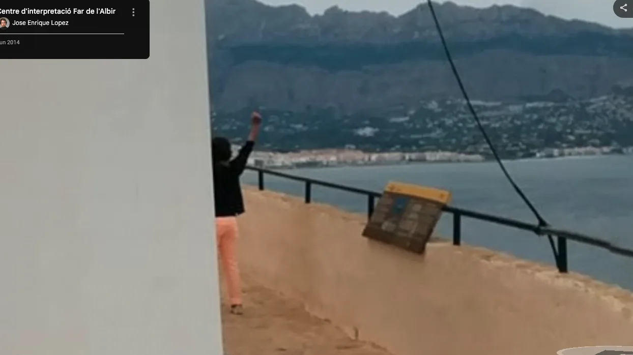
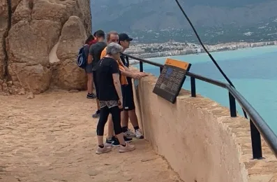
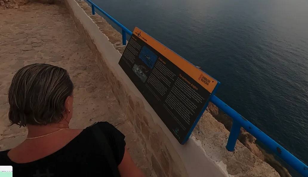
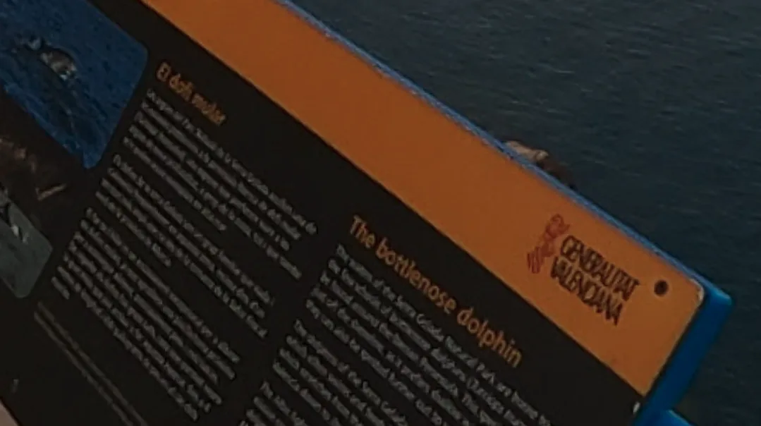
Spanish translation: delfín nariz de botella
‘Serra G…?’
Google: ‘Serra Gelada’
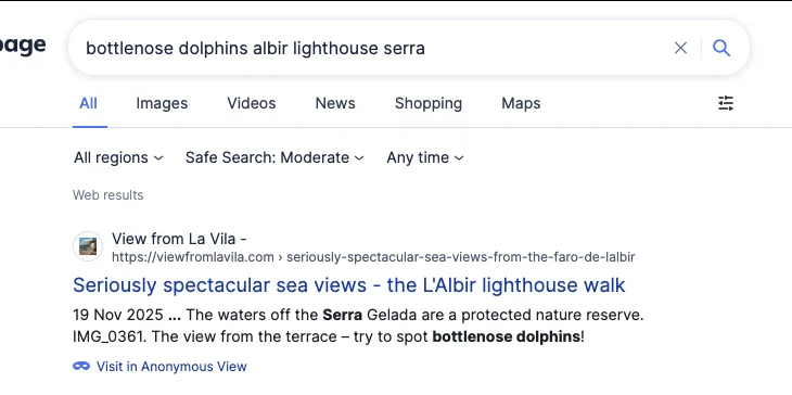
Interesting - we’re getting closer, but I need more precise information than this. I used PicFix Pro to put the signboard into perspective, and then ran it through Google Lens to see if I could find clearer pictures anywhere online.
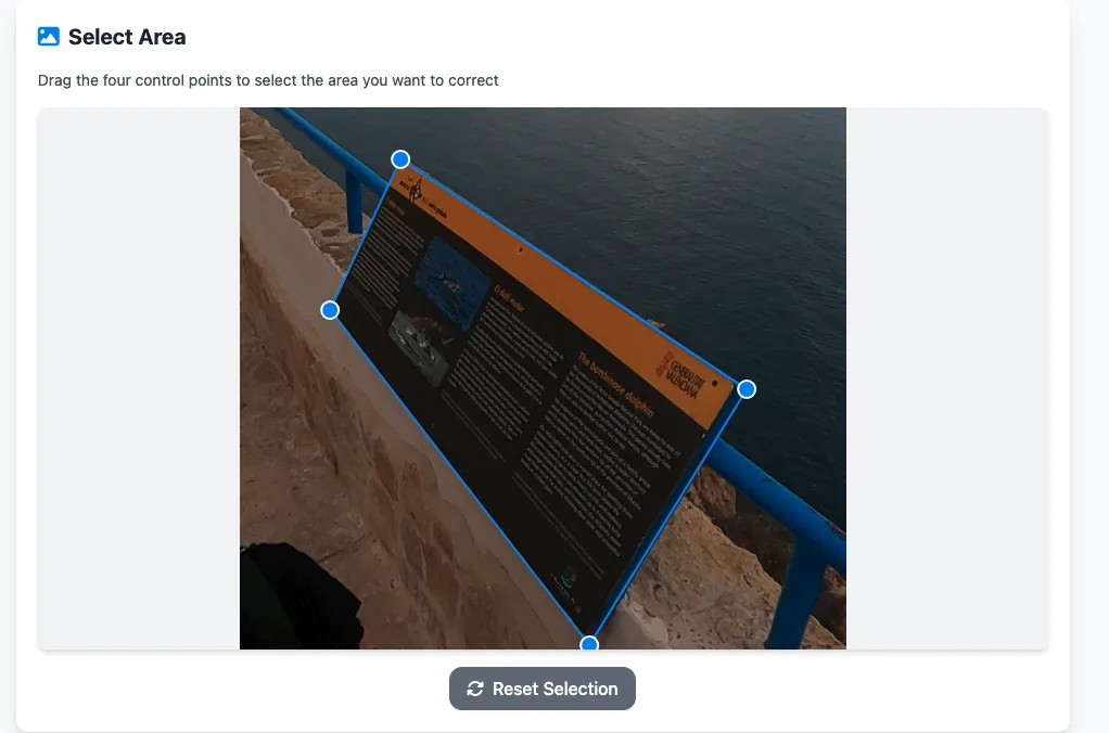
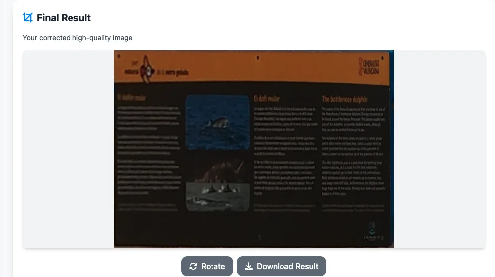
Google Lens and Google Images both failed to turn up immediate results with the corrected image, but I still had enough to conduct further searches. With the lighthouse being a major tourist attraction, I turned my attention to TripAdvisor.
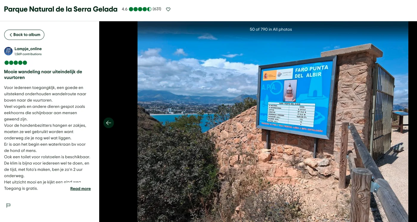
As a fun side-quest, I found the sign from Challenge 1 along the way.
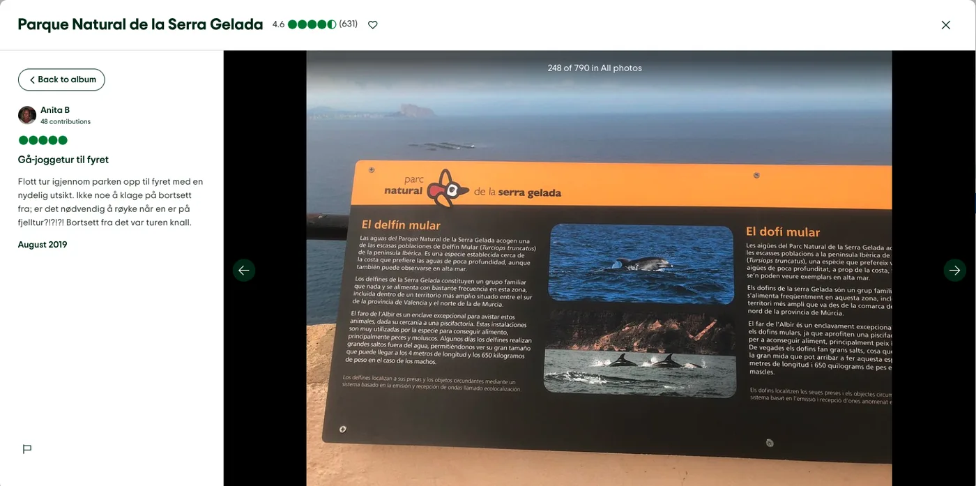
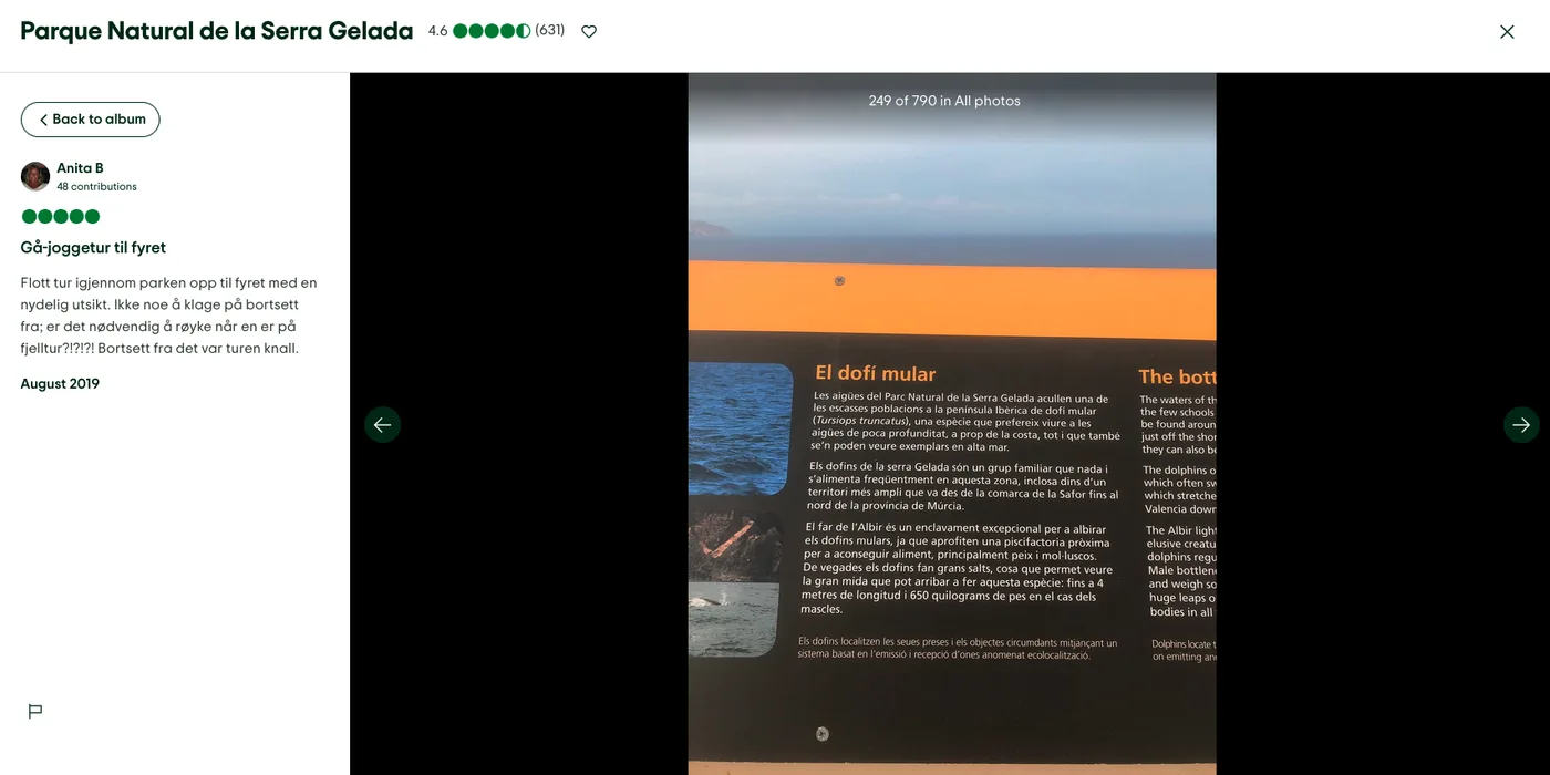
Two reviews by Anita provided the Spanish and (presumably) Valencian translations…
…and a review by nnmercman provided the English.
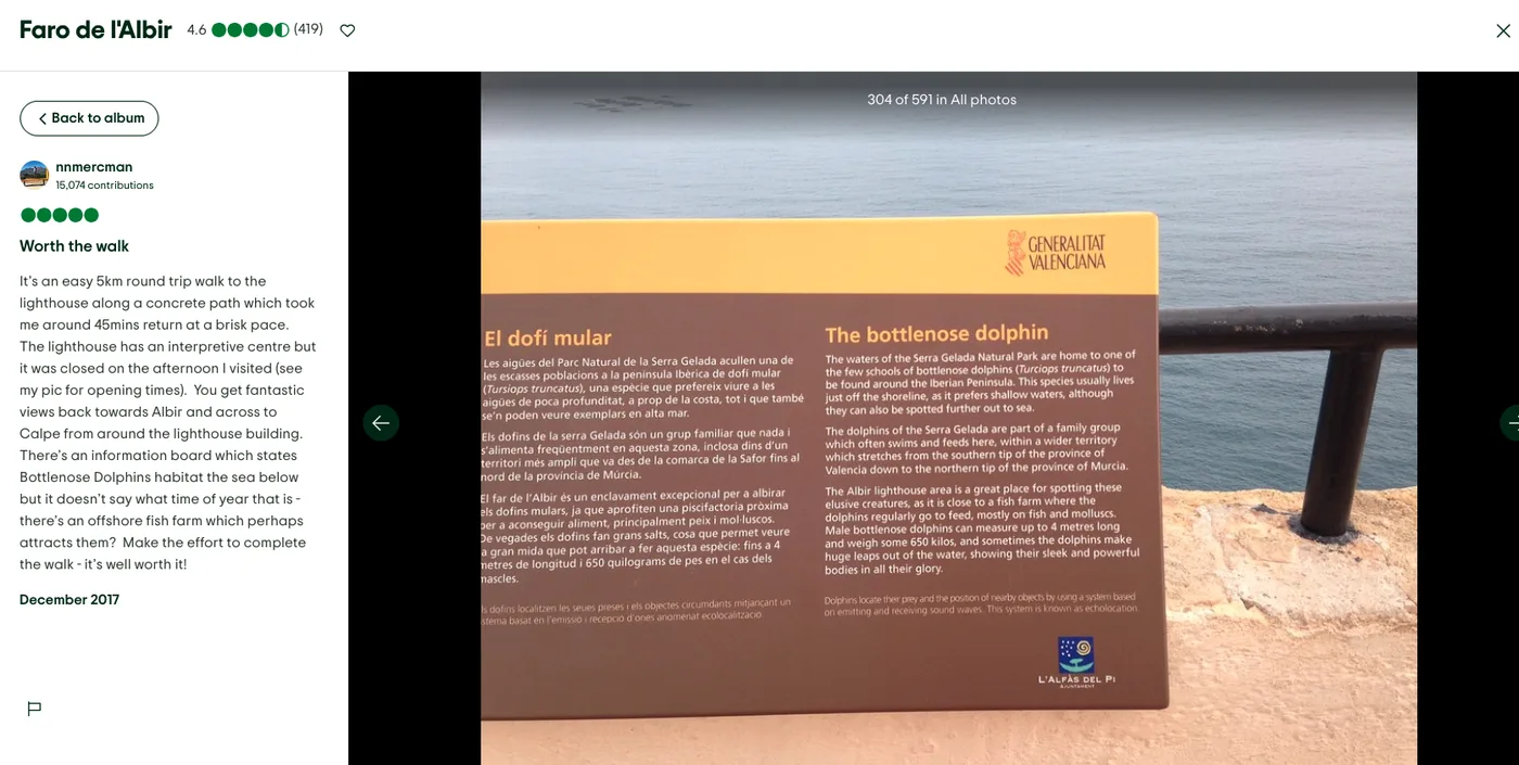
The Spanish gives us the name of the animal in the target language (bottlenose dolphon - delfín mular), and the English the name of the man-made structure (fish farm).
Google Translate tells us that ‘fish farm’ is ‘piscifactoría’ in Spanish, and that term is present in the Spanish version of the tourism board. These concatenate together to provide the flag.
Flag: osintuk{delfín_mular_piscifactoría}
Status Check (5pts)
Task: Take a look at the attached video and identify the bird spotted along the path. Next, locate the official Spanish PDF guide for this specific trail. According to the document’s fauna section for this bird, what is the Spanish term listed immediately next to “Presencia”?
Answer Format:
- Use the osintuk{answer} format.
e.g. osintuk{migratorio}
I took a screenshot of the bird in the clip and ran it through Google Lens. The results pointed mostly to some form of partridge - either a chukar partridge, a rock partridge or a red-legged partridge.
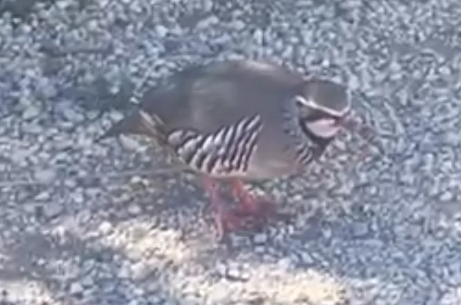
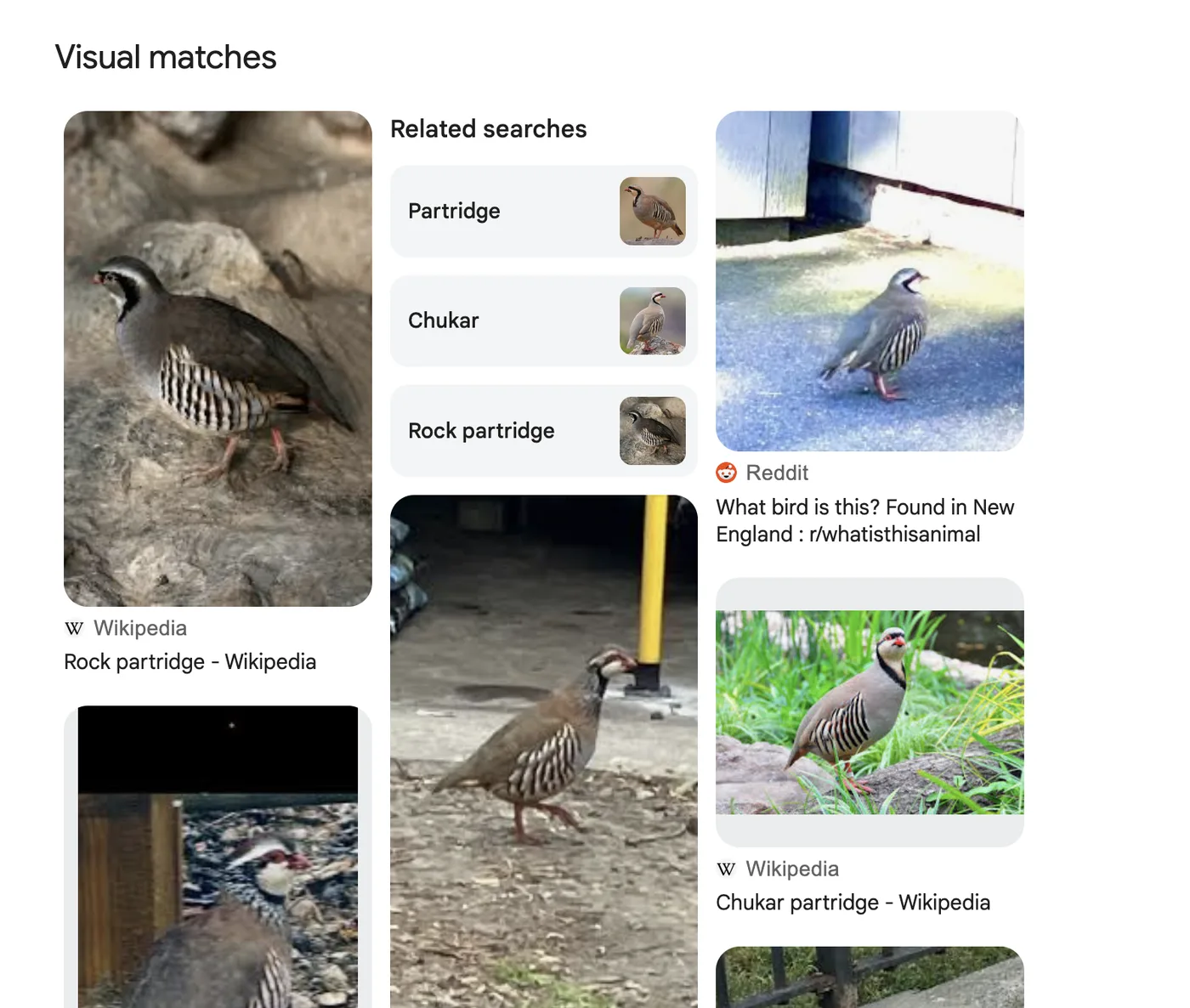
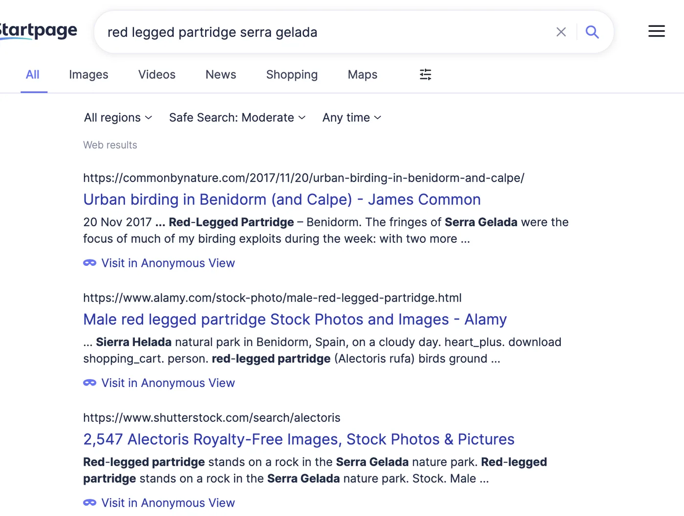
A Google search for these terms against ‘Serra Gelada’ raised the red-legged partridge as being the best-fit candidate. Google Translate thereafter calls it a ‘perdiz roja’ (lit. ‘red partridge’).
Now we know the bird, we need the route. I started by looking for PDF files of routes in the Sera Gelada national park through Google, and found a welcome guide with the route name listed: ‘El Faro de l’Albir’.
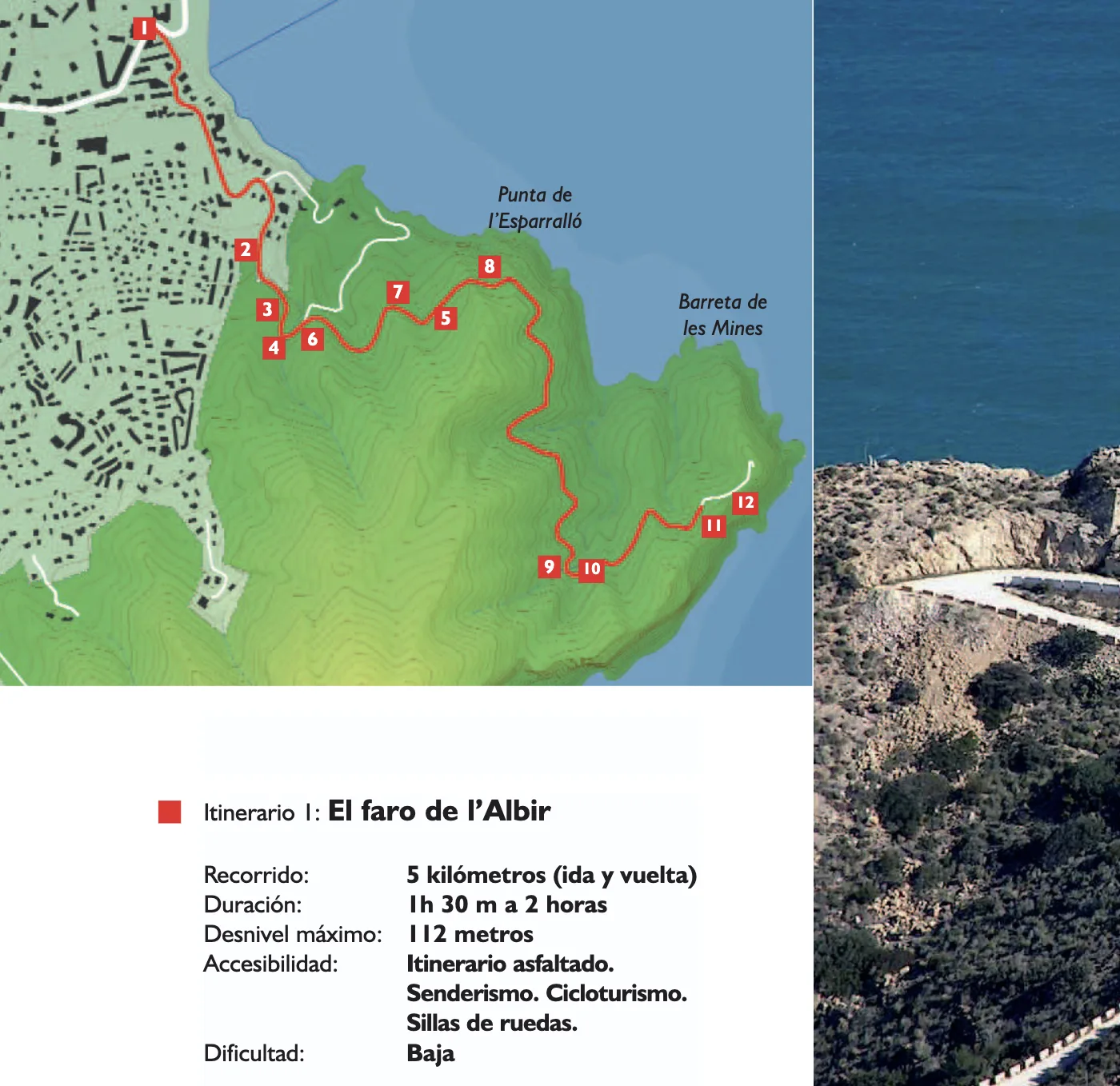
With the route secured, I had enough information to run a more specific dork:
filetype:pdf “el faro de l’Albir” “presencia” “fauna”
This isn’t complex, and it isn’t designed to be - but it was enough to locate the target document: a guide to the route, with information on the bird under the ‘Fauna’ section. The section gives the final flag: ‘residente’.
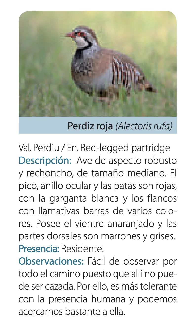
Flag: osintuk{residente}
Analytics Code (5pts)
Task: Looking back at the primary landmark at the end of the trail, Google Maps has a website URL connected to the landmark. What is the Google Analytics ID for this website?
Answer Format:
- Use the osintuk{answer} format.
e.g. osintuk{UA-913825741}
Going to the landmark in question - the lighthouse of Albir - showed the webpage for Visit Albir.
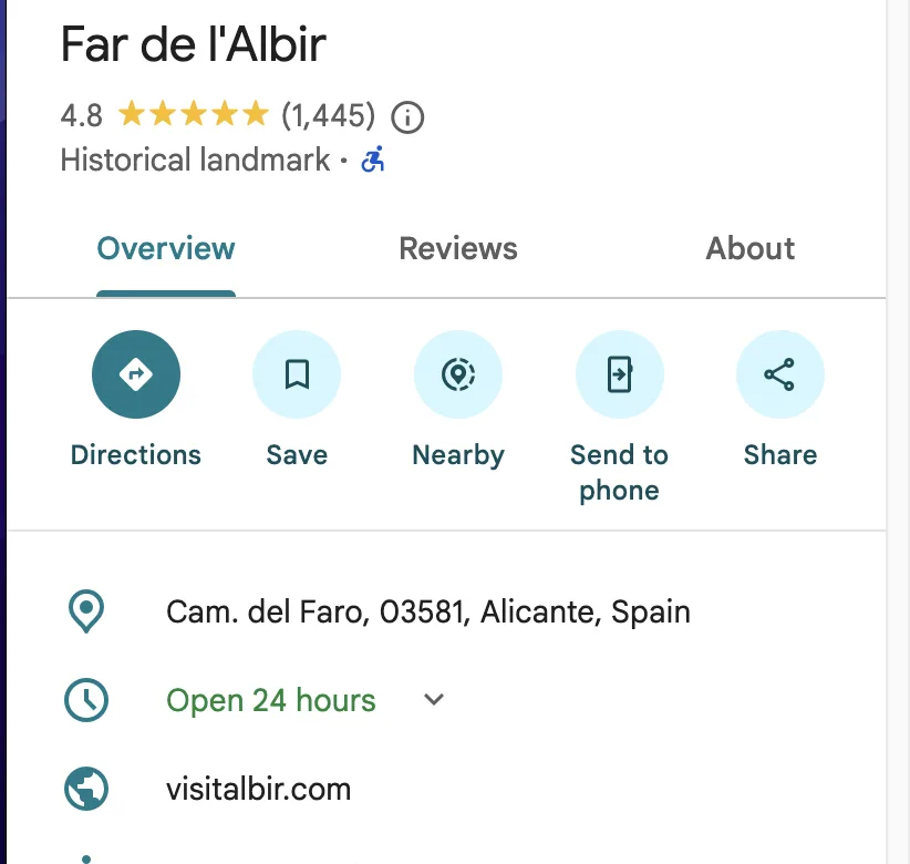
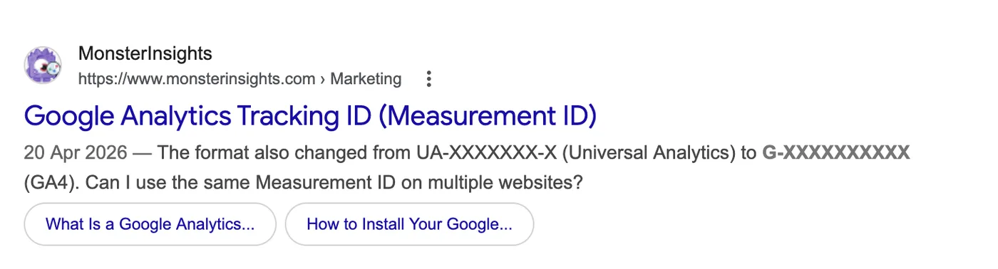
I searched what format a Google Analytics number would usually be in. Google search results gave ‘G-‘ as the current format, and ‘UA-‘ as another.
Given the example flag has ‘UA-‘, I thought that would more likely be the format used for the real flag. I went to the website, viewed the page source, and searched for ‘UA-‘. This led to the flag.
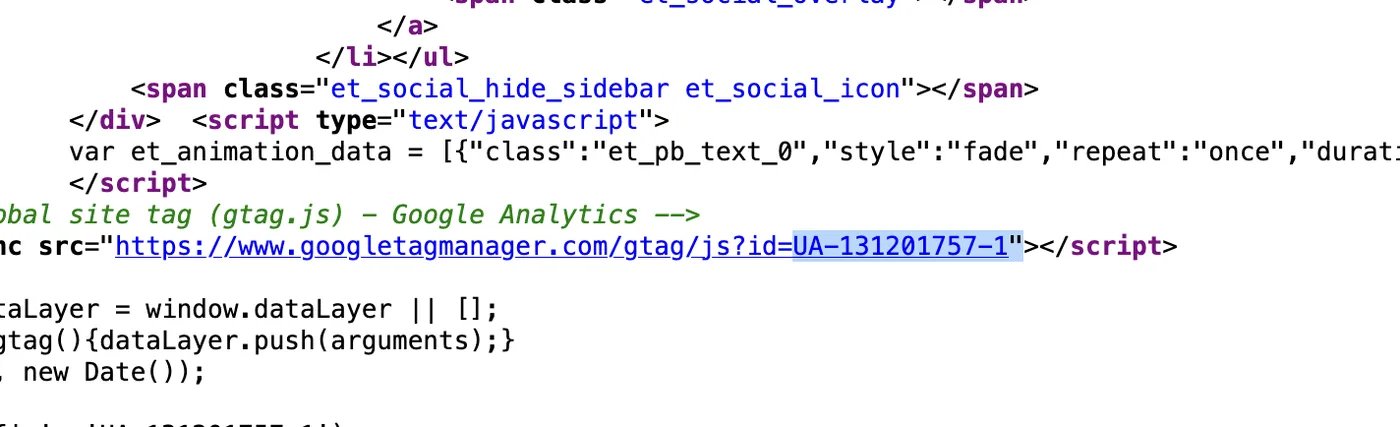
Flag: osintuk{UA-131201757-1}